

Every morning, a farmer in Vidarbha looks at the sky. He hopes for rain. All he sees is heat.
Far away in the United States, NOAA scientists are watching the Pacific Ocean. Satellite images show it warming fast. This is worrying them.
These two things are linked. What happens under the Pacific this year could shape rainfall, farming, rivers and water supply in India. The effects could last until 2027. NOAA scientists say conditions now favour a strong El Niño 2026. It could shape this year's monsoon.
What Exactly Is Happening In The Pacific?
El Niño is a natural climate pattern where the surface of the central and eastern Pacific Ocean warms well above normal for several months in a row. NOAA declared an El Niño Advisory in June 2026 after tracking a rapid rise in sea surface temperatures near the equator. The agency now puts the odds of temperatures crossing 2 degrees Celsius above normal at 63 %. If that happens, it counts as a very strong event, the kind meteorologists informally call a super El Niño.
The World Meteorological Organisation has echoed this warning. It sees an 80 % chance of El Niño conditions between June and August 2026, rising to a 90 % chance that the event holds until November. Climate scientist Daniel Swain, who studies water resources at the University of California, has said this El Niño has a high chance of becoming strong to very strong, even after accounting for the way warming oceans already push up baseline temperatures. Only three events in the satellite record, going back to the late 1970s, have reached that very strong mark, in 1982-83, 1997-98 and 2015-16.
Why Scientists Are Worried This Time?
2026 is different because of where we start from. Earth is already 1.4 degrees Celsius warmer than before the industrial era. This comes from the Copernicus Climate Change Service. A super El Niño on top of this warming could push global temperatures to new highs. Something similar happened in 2023-24. That El Niño helped drive record heat in 2024.
Some researchers compare this to the 1876-78 super El Niño. A study in the Journal of Climate says that event caused the worst monsoon drought in Asia in 800 years. It led to famines that killed close to 50 million people across the region.
El Niño 2026 India Impact On The Monsoon
El Niño 2026 has arrived at a hard time for India. The southwest monsoon reached Kerala on June 4. That is three days late. IMD has forecast rainfall at 90% of the long period average. It puts the chance of a deficient season at 60%.
By the end of June, the shortfall was already visible. National rainfall was down 40%. Central India was down 50%. This region holds many of India's rainfed farms.
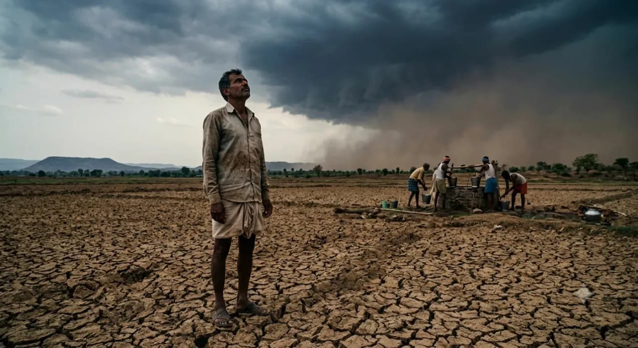
IMD director general Mrutyunjaya Mohapatra says a positive Indian Ocean Dipole could soften the blow. But IMD now expects a neutral Dipole this year. That cushion may not come. History gives a warning too. During the last super El Niño in 2015-16, IMD first forecast 93% of normal rainfall. It later cut that to 88%. The final figure came in at just 86%. Drought spread widely that year.
Nearly half of India's farmland has no irrigation. It depends fully on the monsoon. Around 60% of Indian farmers rely on kharif rains for their income. A repeat of 2015-16, or worse, would hit wheat, mustard, sugar and edible oil supply chains. These chains are already under strain from early heatwaves this year.
The Part Of The El Niño Story Everyone Is Skipping
Most reports treat El Niño 2026 as a one-season weather event. The real story runs deeper. The government has already restricted sugar exports. It raised the export duty on edible oil too. These moves came before the monsoon even peaked. They show real concern about shortages if rain stays low.
Scientists still debate how much El Niño alone drives India's monsoon. IIT Bombay researchers link El Niño to only 60% of weak monsoon years. Other factors drive the remaining 40%. Scientists are still studying these factors. One of them is how India's own monsoon can shape El Niño in turn.
Rainfall will not look the same everywhere. National numbers can hide big regional gaps. Ladakh, Rajasthan, the Northeast and northern Telangana may see normal or even above normal rain. Central and peninsular India face the higher risk of shortage. The impact will differ sharply from region to region.
Why It Matters For Bharat?
For people, El Niño 2026 could mean water shortages, higher prices of vegetables and pulses, and more frequent heatwaves that may continue into 2027. For farmers, it makes kharif crop planning more difficult, increasing the importance of local weather forecasts instead of relying only on state-level predictions. For the government, it highlights the need for better water management, quicker crop insurance support and timely decisions on food exports. For scientists and policymakers, this will also be a major test of whether India's early warning systems can use Pacific Ocean data to help people prepare before the impact is felt.
News4Bharat POV
Every Super El Niño begins in the Pacific Ocean, but its biggest impact is often felt in Indian homes and farms. A 40 % drop in June rainfall is more than just a number. It can decide whether reservoirs stay full or run dry by October. News4Bharat believes that the bigger story is not just predicting El Niño but preparing for its impact. This time, scientists have given India months of advance warning, unlike many past droughts. The real challenge now is whether state governments use IMD forecasts to plan water supply, support farmers with seeds and take steps to control food prices before shortages begin, or whether these warnings remain limited to official announcements.